Terms of Reference
- In collaboration with other ICA Commissions, explore research on the impact and use in SDIs oi cartography, standards, spatial semantics, ontologies, volunteered geographic information (VGI), data quality and other technological developments that might become relevant in future, and identify the associated education needs.
- In collaboration with other ICA Commissions, participate at the scientific level with other organizations active in SDI, standards and quality of geospatial data and services.
- Develop reports, conference presentations and/or journal articles on our work and help to arrange workshops, conferences or other meetings on SDI and standards, and present tutorials at them.
- Organize reporting sessions on the Commission’s activities at the 2021 and 2023 International Cartographic Conferences.
- Organize and hold full Commission meetings in 2020, 2021, 2022 and 2023, and mini-meetings of the Commission at suitable meetings and conferences.
- Continue to serve as the liaison for the ICA to ISO/TC211, Geographic Information/Geomatics, to the Open Geospatial Consortium, and establish liaisons with other SDI and standards organizations.
Chairs
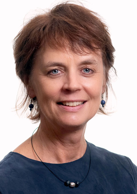
 Serena Coetzee
Department of Geography, Geoinformatics and Meteorology University of Pretoria Private Bag X20 Hatfield 0028, South Africa phone: +27 12 420 3823 e-mail: serena.coetzee@up.ac.za |
 Franz-Josef Behr
Laboratory for Open Geospatial Software, Data and Standards Stuttgart University of Applied Sciences Schellingstraße 24 70174 Stuttgart, Germany phone: +49 711 8926 2606 fax: +49 711/8926-2556 e-mail: franz-josef.behr@hft-stuttgart.de |
Former Chairs
 Antony Cooper
Built Environment Unit CSIR PO Box 395 Pretoria 0001 South Africa phone: +27 12 841 4121 fax: +27 12 841 3037 e-mail: acooper@csir.co.za |
 Harold Moellering
Department of Geography The Ohio State University 1036 Derby Hall 154 North Oval Mall Columbus, Oh 43210-1361, USA e-mail: moellering.1@osu.edu |
Executive Committee
| Executive Committee liaison: Vit Voženílek |
Members
| Paloma Abad – Instituto Geográfico Nacional, Madrid (Spain) Suchith Anand – University of Nottingham, Nottingham (UK) Jean Brodeur – Recherche GéoSémantic Research (Canada) Karl Baker – Land Information New Zealand (LINZ), Wellington (New Zealand) Veerle Beyaert – Informatie Vlaanderen, Gent (Belgium) Joselyn Robledo Ceballos – Universidad de Santiago de Chile (Chile) Maroale Chauke – Department of Rural Development and Land Reform (South Africa) Antony Cooper – CSIR, Pretoria (South Africa) Joep Crompvoets – KU Leuven (Belgium) Dave Danko – Esri (USA) Tatiana Delgado – Havana (Cuba) Ahmad Desai – National Geo-spatial Information (NGI) (South Africa) López Romero Emilio – Instituto Geográfico Nacional (Spain) Olivier Ertz – University of Applied Sciences Western Switzerland (Switzerland) Sebastian Hennig – OpenStreetMap Germany (Germany) Jan Hjelmager – Danish Geodata Agency, Copenhagen (Denmark) Anja Hopfstock – BKG, Frankfurt, (Germany) Ionut Iosifescu – Institute of Cartography and Geoinformation, ETH Zürich (Switzerland) García Francisco Javier – Instituto Geográfico Nacional (Spain) Gonzalo Ifland – Universidad de Santiago de Chile (Chile) Ivana Ivanova – Curtin University (Australia) Adam Iwaniak – Wroclaw University of Environmental and Life Sciences, Wroclaw (Poland) B Jagadish – Indian Institute of Technoglogy, Kanpur (India) Katarzyna Jozwik – Polish Geological Institute – National Research Institute (Poland) Iwona Kaczmarek – Wroclaw University of Environmental and Life Sciences, Wroclaw (Poland) Samy Katumba – Gauteng City Region Observatory (South Africa) Milan Konecny – Masaryk University, Brno (Czech Republic) Barend Köbben – Universiteit Twente, Enschede (Netherlands) Dominique Laurent – Institut Géographique National France, Paris (France) Jan Laporte – Informatie Vlaanderen, Gent (Belgium) Leonel Manteigas – International Hydrographic Organization (IHO) (Monaco) Harold Moellering – Department of Geography, Ohio State University (USA) Yashena Naidoo – Gauteng City-Region Observatory (GCRO) (South Africa) Alberto Neves – International Hydrographic Organization (Monaco) Anders Nielsen – Danish Geodata Agency, Copenhagen (Denmark) Olaf Østensen – Norwegian Mapping Authority, Oslo (Norway) Geoff O’Malley – Land Information New Zealand (New Zealand) Antonio F. Rodríguez Pascual – Instituto Geográfico Nacional (Spain) Ammatzia Peled – University of Haifa (Israel) Julierme Pinheiro – Navy Hydrographic Centre, Brazilian Navy (Brazil) Reese Plews – (Japan) Abbas Rajabifard – University of Melbourne (Australia) Petr Rapant – Technical University Ostrava (Czech Republic) Victoria Rautenbach – Centre for Geoinformation Science, University of Pretoria (South Africa) Giannina Reyes – (Chile) Marna Roos – AfriGIS, Pretoria (South Africa) Lindy-Anne Siebritz – National Geo-spatial Information (NGI) (South Africa) Kisco Sinvula – Kunene Regional Council, Opuwo (Namibia) Stefan Steiniger – Departamento de Ingeniería de Transporte y Logística, Pontifical Catholic University, Santiago (Chile) Siegfried Vanlishout – Informatie Vlaanderen, Gent (Belgium) Gaby van Wyk – (Australia) Rumiana Vatseva – Sofia University, Sofia (Bulgaria) |
