2016 Full Commission Meeting

The 2016 Full Commission Meeting is planned for 10-12 June in Helsinki, Finland, on the weekend before the AGILE 2016 conference. The venue for the Commission Meeting is to be announced. Collaborative research will be initiated during the meeting. We plan to start around lunch on Friday, 10 June. We may finish on Saturday evening, but if necessary, we can use an hour or two on Sunday morning. As proposed at the business meeting in Brazil last year, possible research topics are:
– Geospatial Interoperability Manifesto
– ICA conceptual model for SDIs at universities
– Further work on the impact of SDIs on value added resellers

If you would like to attend, please contact the Commission Chairs: Serena Coetzee or Franz-Josef Behr.

Call for papers: Special issue of International Journal of Cartography

The role of
spatial data infrastructures, standards, open data and open source software
in mapping

Ever-increasing volumes of geographic information pose challenges for making geographic information available and usable in maps. In celebration of the International Cartographic Association’s International Map Year 2015/16, we invite original research contributions on the role of spatial data infrastructures (SDI), standards, open data and open source software in mapping for a special issue of the International Journal of Cartography.

The discovery, access, exchange and sharing of geographic information and services among stakeholders from different levels in the spatial data community is facilitated through a SDI. Standards are key for the quality and development of interoperable geographic information and geospatial software. The drive for access to geographic information has led to its publication as open data, i.e. freely available to everyone to use and republish as they wish, without restrictions from copyright, patents or other mechanisms of control. According to a report by the United Nations Committee of Experts on Global Geospatial Information Management (UN-GGIM), the use of open source software solutions is likely to increase significantly in the future as a viable alternative to proprietary suppliers. Open source software for geospatial, geographic information standards and open data policies are therefore significant for SDI development and implementation.

This special issue follows on SDI-Open 2015, a pre-conferenece workshop of the 27th International Cartographic Conference, titled Spatial data infrastructures, standards, open source and open data for geospatial (SDI-Open 2015), which was jointly organized by the Commission on Geoinformation Infrastructures and Standards, the Commission on Open Source Geospatial Technologies and the Open Geospatial Consortium (OGC) on 20 and 21 August at the Brazilian Institute of Geography and Statistics (IBGE) in Rio de Janeiro, Brazil. While workshop presenters will be invited to submit expanded versions of the extended abstracts presented at SDI-Open 2015, the call is now open to all researchers. Please follow the journal’s Instructions for authors.

Important dates
Call for papers opens:            14 December 2015
Paper submission:                  1 March 2016
Notification of acceptance:     1 June 2016
Publication of special issue:    1 December

Guest editors
Serena Coetzee serena.coetzee@up.ac.za (Chair: ICA Commission on SDI and Standards)
Franz-Josef Behr franz-josef.behr@hft-stuttgart.de (Vice-Chair: ICA Commission on SDI and Standards)
Antony Cooper acooper@csir.co.za (Former Chair: ICA Commission on SDI and Standards)
Silvana Camboim silvanacamboim@gmail.com (Chair: ICA Commission on Opensource Geospatial Technologies)
Michael Finn mfinn@usgs.gov (Vice-Chair: ICA Commission on Opensource Geospatial Technologies)

Commission websites
Commission on SDI and Standards: sdistandards.icaci.org
Commission on Opensource Geospatial Technologies opensourcegeospatial.icaci.org

SDI-Open 2015: Final programme

Thursday (20 August): Commission meetings
9:00 Arrival and registration
9:30 ICA Commissions (SDI/Open Source) – Preparation for Main Conference Business Meeting
10:30 Break
11:00 Geo For All Presentation (Silvana Camboim)
12:00 Lunch
13:30 Joint Commission Meeting, part I
15:00 Break
15:30 Joint Commission Meeting, part II
15:30 Closure
16:00 Special Tour – Maracana Football Stadium (R$ 36,00 per person, around US$ 12,00). More information: https://www.maracana.com/site/en
Friday (21 August): Open source and open standards in spatial data infrastructures – Case studies
8:30 Arrival and registration
Session 1, Chair: Silvana Camboim
9:00 Welcome: João Bosco de Azevedo (IBGE), Luis Cavalcanti Bahiana (Brazilian NSDI), Prof Harald Moellering, First Chair: ICA Commission on Geoinformation Infrastructures and Standards
9:30 NSDI-BR – A historical and contemporary analysis, Presenter: Rogério Borba
9:50 The Australian National Map, Presenter: Peter Leihn
10:10 Open standards and formats used in the implementation of a marine spatial data infrastructure at the Directorate of Hydrography and Navigation of the Brazilian Navy, Presenter: Juan Caraballini
10:30 Break
Session 2, Chair: Antony Cooper
11:00  SDI – National to Global: perspectives from the UK academic sector, Presenter: Conor Smyth
11:20  A decade of geoinformation sharing at ETH Zurich, Presenter: Ionut Iosifescu
11:40  Discussing the role of university in spatial data infrastructure construction: issues and challenges for UERJ-V-SDI, Presenter: Jose Augusto Ramos
12:00  Lunch
Session 3, Chair: Trevor Taylor
14:00  Using open source software and open standards for implementing a European spatial data infrastructure via service cascade, Presenter: Lassi Lehto
14:20  Interoperable provision of geodata and services according to the INSPIRE Directive in German geoportal sites, Presenter: Franz-Josef Behr
14:40  Geoportal MTOP, Presenter: Ana Fernández and Melissa Robert
15:00  Break
Session 4, Chair: Serena Coetzee
15:20  Conceptual data modeling in the geospatial information technology toolkit (gittok), Presenter: Morishige Ota
15:40  A solution for processing large files in the LASer (LAS) format using the message passing interface (MPI) and parallel file systems, Presenter: Michael Finn
16:00  Closure
19:30  Rio Scenarium (samba bar/restaurant). More Information: http://www.rioscenarium.com.br/novo/ ($R30 reals, around US$ 10)

SDI-Open 2015 – submission deadline extended to 16 March 2015

The deadline for submissions of extended abstracts to the pre-conference workshop at IBGE in Rio de Janeiro, jointly organized by the Commission on Geoinformation Infrastructures and Standards, the Commission on Open Source Geospatial Technologies and the Open Geospatial Consortium (OGC), on 20 and 21 August 2015 has been extended to 16 March.
Continue reading

Pre-conference workshop on Spatial data infrastructures, standards, open source and open data for geospatial (SDI-Open 2015)

icalogo OGC_Logo_3D

 Call for extended abstracts:
27th International Cartographic Conference
Pre-conference workshop on

Spatial data infrastructures, standards, open source and open data for geospatial (SDI-Open 2015)

jointly organized by the
Commission on Geoinformation Infrastructures and Standards, the Commission on Open Source Geospatial Technologies and the Open Geospatial Consortium (OGC)

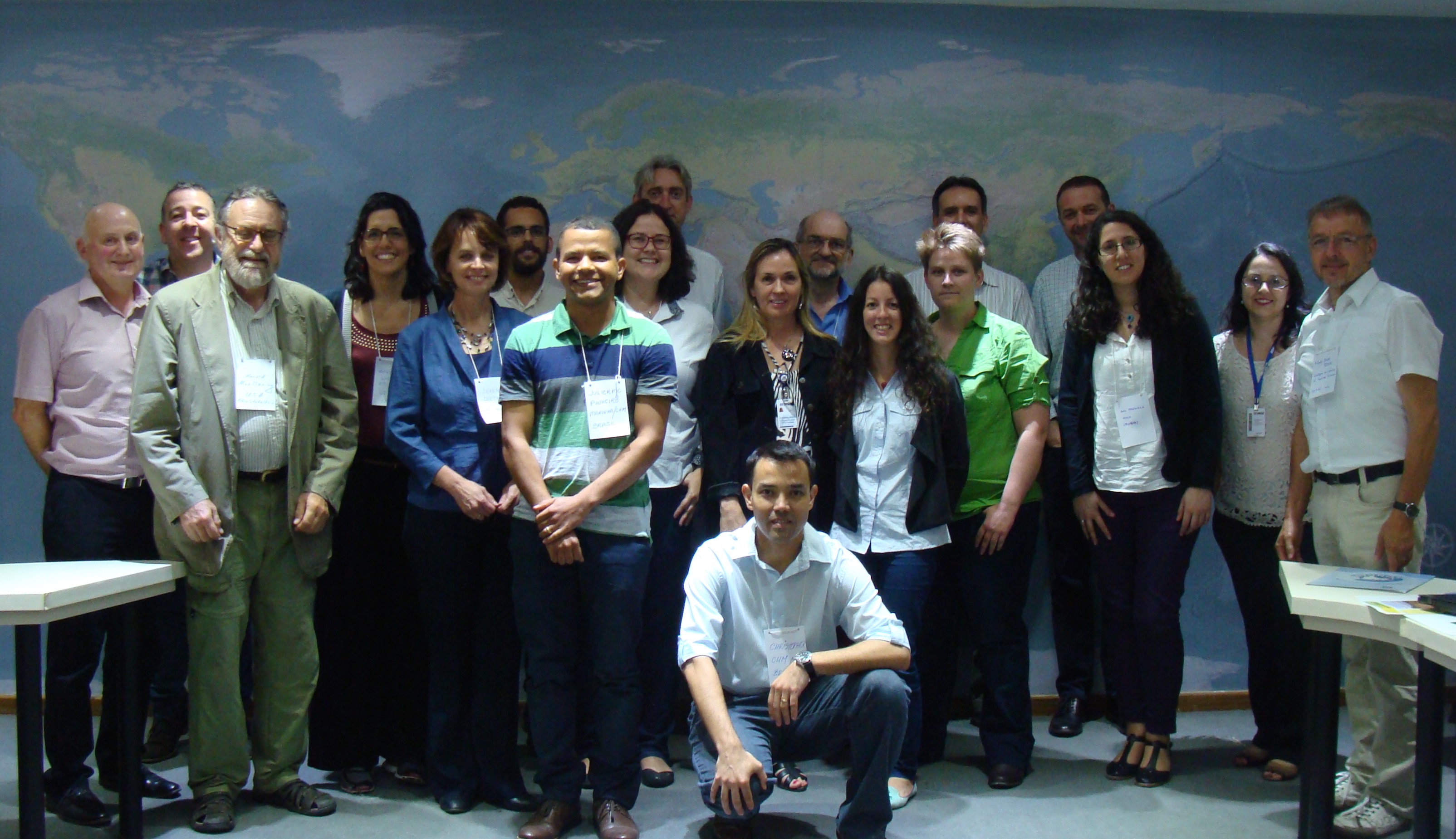
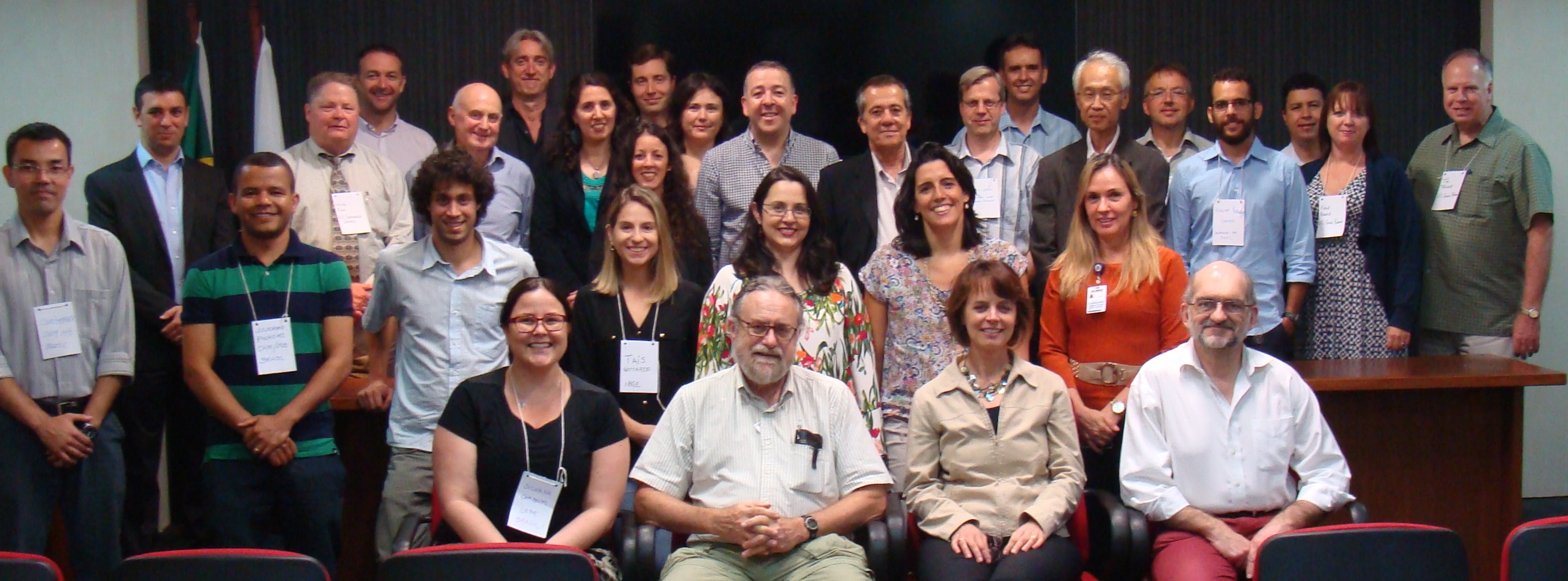
Date: Thursday, 20 August and Friday, 21 August 2015
Venue: Brazilian Institute of Geography and Statistics (IBGE), Rio de Jaineiro, Brazil

The discovery, access, exchange and sharing of geographic information and services among stakeholders from different levels in the spatial data community is facilitated through a spatial data infrastructure (SDI)Standards are key for the quality and development of interoperable geographic information and geospatial software. The drive for access to geographic information has led to its publication as open data, i.e. freely available to everyone to use and republish as they wish, without restrictions from copyright, patents or other mechanisms of control. According to a report by the United Nations Committee of Experts on Global Geospatial Information Management (UN-GGIM), the use of opensource solutions is likely to increase significantly in the future as a viable alternative to proprietary suppliers. Open source software for geospatial, geographic information standards and open data policies are therefore significant for SDI development and implementation. This workshop aims to record examples of current SDI practice with an aim to identify benefits and challenges to implementing free and open source software for geospatial, geographic information standards and open (spatial) data in an SDI.

SDI resarchers and practitioners are invited to submit extended abstracts of 1,000-1,500 words that describe SDI case studies where

  • open source software for geospatial is used in the technical implementation; and/or
  • geospatial standards are implemented; and/or
  • geographic information is accessible as open data.

The case studies shall include the following:

  • Background information about the SDI, including the relevant policies.
  • A description of how open source, standards and/or open data are implemented in the SDI.
  • An evaluation of the motivatorsbenefits, barriers and challenges concerning implementation of open source software, standards and/or open data.
  • Based on the evaluation, provide recommendations for improvements and/or further work.
  • Conclusions.

Extended abstracts have to be written in English. Contributions must be original and previously unpublished. Author guidelines are available here. Abstracts have to be submitted through the online submission system, available at https://easychair.org/conferences/?conf=sdiopen2015. Abstracts will be reviewed by members of the organizing ICA Commissions. Upon acceptance, a revised abstract has to be submitted for inclusion in the workshop proceedings. At least one of the authors of an accepted abstract must register for the workshop and make an oral presentation at the workshop.

Accepted abstracts will be published in the online workshop proceedings with an ISBN number and will be openly archived on the ICA website under a Creative Commons Attribution License, which allows others to freely access, use, and share the work, with an acknowledgment of the work’s authorship and its initial publication in the online workshop proceedings. Authors of a selected number of high quality abstracts may be invited to submit an extended paper to a peer-reviewed journal.

Important dates

Call for abstracts opens: 1 September 2014
Abstract submission: 2 March 2015 16 March 2015
Notification of acceptance: 1 June 2015
Submission of revised abstracts: 6 July 2015
Full workshop registration payment for presenters: 6 July 2015
27th ICC 2015 Conference: 23-28 August 2015

Contact

If you have any questions, please contact Antony Cooper acooper@csir.co.za, Serena Coetzee serena.coetzee@up.ac.za, Suchith Anand Suchith.Anand@nottingham.ac.uk, Silvana Camboim silvanacamboim@gmail.com or Trevor Taylor ttaylor@opengeospatial.org.